Run Surrey: Godalming Route
- Amy Boalch

- Jun 28, 2021
- 4 min read
A 10 mile off-road route featuring the National Trust sites Winkworth Arboretum and Hydon Heath.

Starting Point
This loop starts and finishes at Godalming Train Station which has easy access from London Waterloo - it's a 40 minute journey.
Details for this route can be found here and you can download the GPX file to follow the route directly from your watch.
This route is a mix of country lanes, paths and woodland trails. It is non-technical with no overly steep sections.

Mile 1
From the station find your way to Phillips Memorial Park. The GPX route goes from the station's upper car along a small footpath that leads to the park within a few minutes. If you leave the station via a different exit head to Borough Road and then walk along to the park.
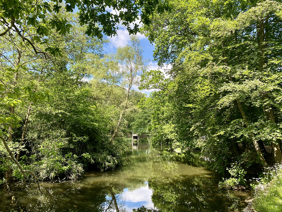
Once in the park follow the path that runs alongside the river. The River Wey will be on your left. After about half a mile you will meet a road that crosses the river. Cross directly over this road and continue following the path along the river - the river will now be on your right.

Miles 2 & 3
For the second mile of this route continue along the River Wey until you meet another road that crosses the river - Catteshall Road. At this point leave the river path and take a right onto Catteshall Road. Walk along it to the end of the road. Take a left onto Catteshall Lane. The lane will fork soon after - take the bridleway on the right.
Continue along this path. It gently leads uphill along shaded woodland trail with a large open field expanding out to your right. Mile 3 continues along the path as it flattens out and eventually ends as it joins Alldens Lane.

Mile 4
The fourth mile begins by continuing downhill along Allden's Lane, which becomes Allden's Hill. There are beautiful views out to the right and there is soon to be a 'Hilltop Kitchen' here which will provide the perfect rest spot and viewpoint once it opens.
Near the bottom of the hill there is a footpath on the right side that leads along the bottom of the fields that you will have just been admiring the view of. If you reach the crossroads at the bottom of the hill then you will have gone too far and missed the footpath.
Follow the footpath along the bottom of the fields until you reach a quiet lane - Thorncombe Street.

Mile 5
This section of the route takes you through Winkworth Arboretum. Continue along Thorncombe lane until you see a footpath on the right which is public access. This will lead you into an open field with the Arboretum directly ahead.
It is a bit unclear which paths are for the public and which are for visitors to the Arboretum only, but if you follow this route via the GPX file then we had no problems on any of these paths. The route follows the lake around to the right and then climbs up lots of steps straight ahead. At the top of the steps there are signs to exit the Arboretum - follow these. Once you reach the exit continue straight across the road and continue down South Munstead Lane.

Mile 6
Once on South Munstead Lane take the footpath on the left. This trail will lead you through Busbridge Woods to Hydon Heath. There are a few different trails - try to stick to the GPX route and if you are having difficulties then follow trails signposted as leading to Hydon's Ball.
Mile 7

The tree cover will eventually open out once you reach Hydon's Ball. Enjoy the views from this National Trust site before continuing along the route by taking the trail on your right (if you're looking out at the view). Continue straight along this path until it reaches a road, Salt Lane. There will be paths that intersect the trail but continue straight ahead. Once on Salt Lane take a right and then a very quick left to continue along a path.

Miles 8 - 10
Continue along the trail through a wooded area, across Hambledon Road and then as it leads through farm buildings. Eventually the path leads to Busbridge Lane and the area will now be much more built up as the route approaches the end. Continue along Busbridge Lane, followed by Grosvenor Road, until you end up in Holloway Hill Recreation Ground. There is a path that leads around the edge of this playing field or you can cut straight across the grass.
On the other side of the playing grounds are residential roads. Take Latimer Road and then Queen Street to return to the centre of Godalming. There is plenty of opportunity to get refreshments here and the station is only a few minutes away from the centre of Godalming.

This is a lovely route to run or walk if you fancy an easy day trip from London. The course has a total elevation of 991ft over 9.6 miles. The steepest section is a short climb up to Hydon's Ball with a maximum 24% gradient. This course has a few opportunities for food - the Hilltop Kitchen 3 miles in which is due to open soon, the tea shop at the arboretum, and Godalming itself!


Comments